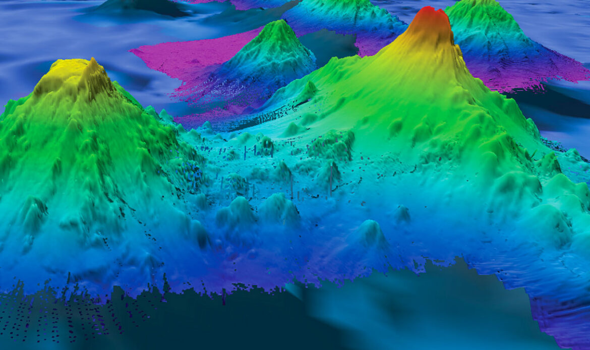
The U.S. submarine fleet’s biggest adversary lately hasn’t been Red October. In 2005, the nuclear-powered USS San Francisco collided with an underwater volcano, or seamount, at top speed, killing a crew member and injuring most aboard. It happened again in 2021 when the USS Connecticut struck a seamount in the South China Sea, damaging its sonar array.
With only one-quarter of the sea floor mapped with sonar, it is impossible to know how many seamounts exist. But radar satellites that measure ocean height can also find them, by looking for subtle signs of seawater mounding above a hidden seamount, tugged by its gravity. A 2011 census using the method found more than 24,000. High-resolution radar data have now added more than 19,000 new ones. The vast majority—more than 27,000—remain uncharted by sonar. “It’s just mind boggling,” says David Sandwell, a marine geophysicist at the Scripps Institution of Oceanography, who helped lead the work.
Published this month in Earth and Space Science, the new seamount catalog is “a great step forward,” says Larry Mayer, director of the University of New Hampshire’s Center for Coastal and Ocean Mapping. Besides posing navigational hazards, the mountains harbor rare-earth minerals that make them commercial targets for deep-sea miners. Their size and distribution hold clues to plate tectonics and magmatism. They are crucial oases for marine life. And they are pot-stirrers that help control the large-scale ocean flows responsible for sequestering vast amounts of heat and carbon dioxide, says John Lowell, chief hydrographer of the National Geospatial-Intelligence Agency (NGA), which runs the U.S. military’s satellite mapping efforts. “The better we understand the shape of the sea floor, the better we can prepare [for climate change].”
After the USS San Francisco accident, Sandwell and his colleagues secured funding from the Navy and NGA to hunt for seamounts with satellites. They identified thousands, including 700 particularly shallow ones that posed hazards to submarines. But the team knew its first catalog was far from complete. Now, armed with data from high-resolution radar satellites, including the European Space Agency’s CryoSat-2 and SARAL from the Indian and French space agencies, the team can detect seamounts just 1100 meters tall—close to the lower limit of what defines a seamount, Sandwell says.
Seamounts often occur in chains formed as tectonic plates ride over stationary plumes of hot rock rising from the mantle. As a result, the catalog will pay immediate dividends for studies of Earth’s interior, says Carmen Gaina, a geophysicist at the Queensland University of Technology. It has already identified new seamounts in the northeast Atlantic Ocean that could help track the evolution of the mantle plume that feeds Iceland’s volcanoes. The survey also spotted seamounts near a ridge in the Indian Ocean where fresh crust is made as tectonic plates spread apart. They suggest a surprising amount of volcanism in a region once thought to be magma starved, Gaina says.

