
Scientists say one of the US space agency’s (Nasa) new Earth observers is going to have a transformative impact in an unexpected area.
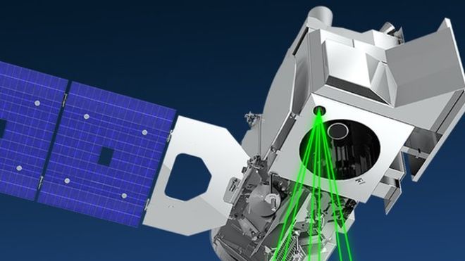
The IceSat-2 laser mission was launched a year ago to measure the shape of Antarctica and Greenland, and to track the thickness of Arctic sea-ice.
But early results show a remarkable capability also to sense water depths.
IceSat’s laser light penetrates up to 40m in the clearest conditions, opening up a raft of new applications.
“As much as people think all areas on Earth have been reasonably well mapped, it’s really not true when you start looking at shallow water areas,” said Dr Christopher Parrish from Oregon State University.
“We’ve got huge data voids from the shoreline out to about 5m water depth.
“This hinders our ability to study things like inundation, the effects of major storms, and the changes to coral reef habitat.”
A project has already started to map the seafloor around low-lying Pacific islands and atolls, which will assist tsunami preparedness for example.
The capability should also enable scientists to work out the volumes of inland water bodies to help quantify Earth’s global freshwater reserves.