

A study of Cold War spy-satellite photos has tripled the number of known archaeological sites across the Middle East, revealing thousands of ancient cities, roads, canals, and other ruins.
In recent decades archaeologists have often used declassified satellite images to spot archaeological sites in Iraq, Turkey, and Syria.
But the new Corona Atlas of the Middle East, unveiled Thursday at the Society for American Archaeology’s annual meeting, moves spy-satellite science to a new level. Surveying land from Egypt to Iran—and encompassing the Fertile Crescent, the renowned cradle of civilization and location of some of humanity’s earliest cities—the atlas reveals numerous sites that had been lost to history.
“Some of these sites are gigantic, and they were completely unknown,” says atlas-team archaeologist Jesse Casana of the University of Arkansas, who presented the results. “We can see all kinds of things—ancient roads and canals. The images provide a very comprehensive picture.”
The team had started with a list of roughly 4,500 known archaeological sites across the Middle East, says Casana. The spy-satellite images revealed another 10,000 that had previously been unknown.
The largest sites, in Syria and Turkey, are most likely Bronze Age cities, he says, and include ruined walls and citadels. Two of them cover more than 123 acres (50 hectares).
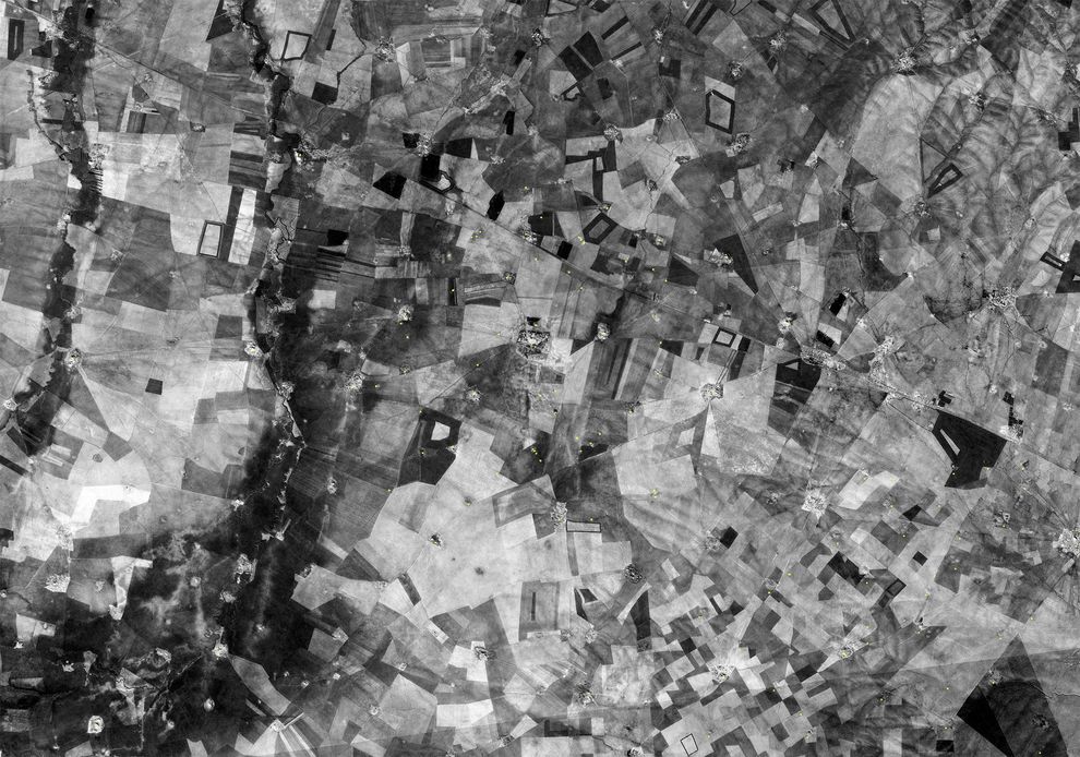
But, says Casana, “it’s not just new places to excavate. We have a real way with all these sites to look across the whole Middle East and see how it was connected.”
The new Middle East atlas reflects both the opportunities and challenges facing archaeologists, who must handle ever larger amounts of data from excavation sites and entire regions, says information-science scholar Eric Kansa of the Alexandria Archive Institute in San Francisco, who spoke at the meeting. “This is big data,” Kansa says. “We have the opportunity to really blow up the scale of our efforts in archaeology.”
The end of the Cold War led to the public release of Corona spy-satellite images by U.S. defense officials almost two decades ago. The spy satellite made images from 1960 to 1972, and the atlas samples only some of the 188,000 images taken from 1967 to 1972 by the last generation of the satellites. The images of the Earth’s surface, intended to expose Soviet missile bases and military camps, had a resolution of two meters (6.6 feet).