
Satellite Photos of the Mysterious Area
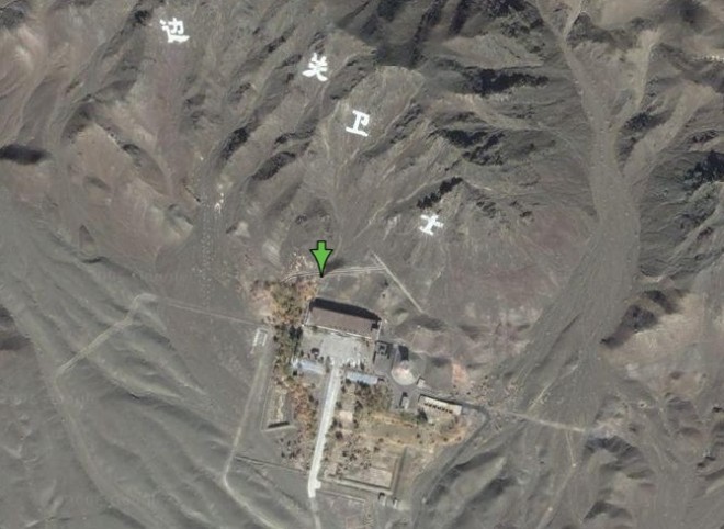
The characters that surround this place mean “Border Guard.” But why would they need them on such a large scale?
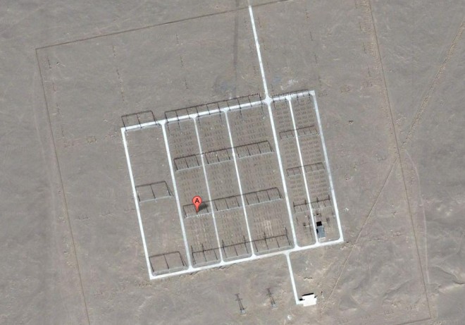
Now what is this? An antenna farm? HAARP?
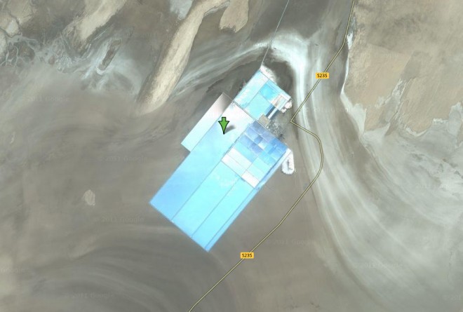
Solar Panels?
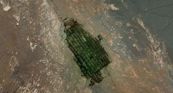
Farming in the desert?
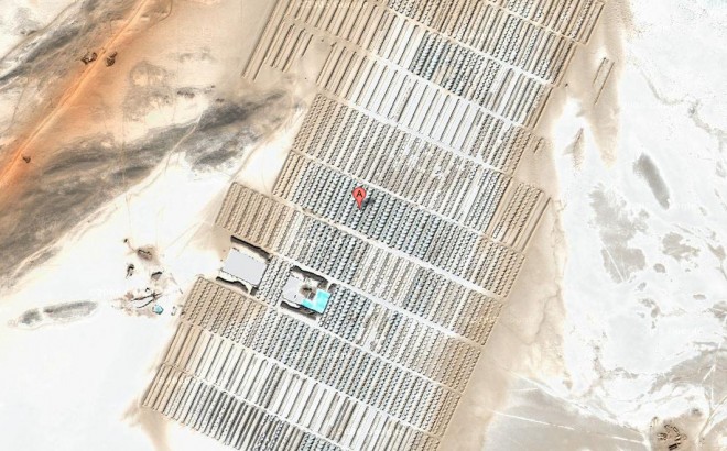
Bunkers or something else?
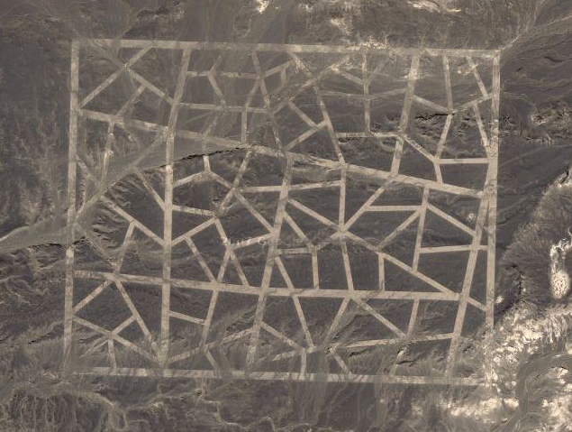
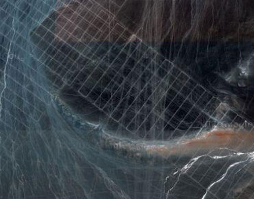
There is yet another pattern of mysterious lines that can be seen using Google Maps. This pattern is completely different from the first two linear patterns, however. Consisting of thousands of lines, this pattern seems to form a massive grid. These grid lines are displayed in two massive strips that intersect each other perpendicularly. The vertical line is approximately one mile wide by a whopping 20 miles long. The horizontal line is approximately one mile wide by 30 miles long. The northern most point of the vertical line reaches within 10 miles of the Mongolian border.
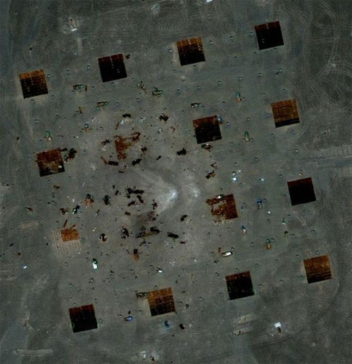
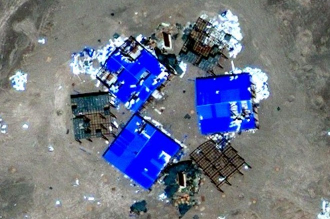
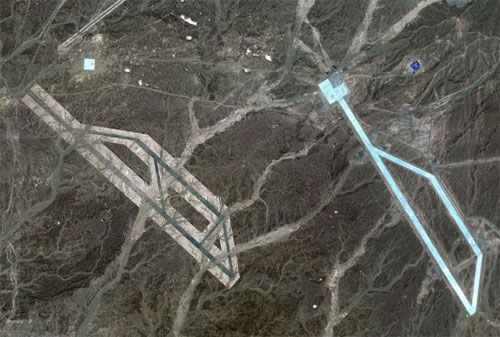
Another mysterious surface feature in the nearby area is what appears to be some kind of airfield. But a couple of the structures that could be runways appear to either be water, or a strange blue material, which makes this “runway” highly visible–something that could come in handy to visitors from space trying to locate a landing location. But there is something else strange about this airfield. In a couple of locations near the airfield, there are dozens of what appear to be impact marks, some that include signs of charring. If this is indeed an airfield, then either the pilots landing there are very clumsy, or, like with the previously mentioned “targeting grid” formation, these could be signs of space-based weaponry.
So what is the explanation for all of these bizarre formations in China? Are they all related? Do they indicate that China is sending coded messages to space? Do they prove that China is testing space-based weapons? Or are glitches with Google’s satellite causing some very strange, yet highly detailed, photo abnormalities? The real answer is unknown at this time. But these are, without a doubt, some very puzzling formations.
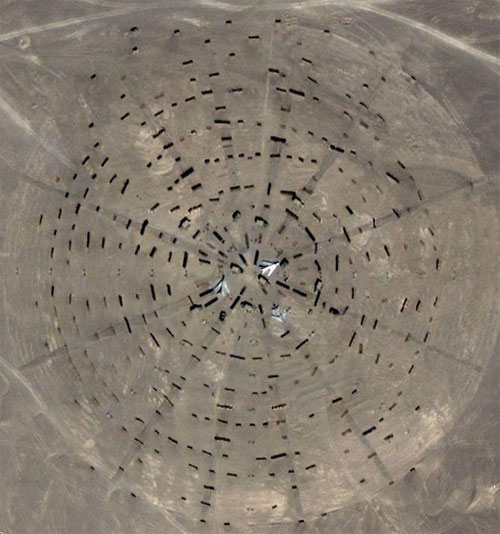
Destroyed vehicles are within this grid, which opens the door to the possibility of space-based weaponry testing?
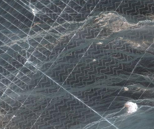
This same grid pattern is visible in several locations in nearby areas. But in some locations, the pattern varies, combining zig-zag lines with straight lines.
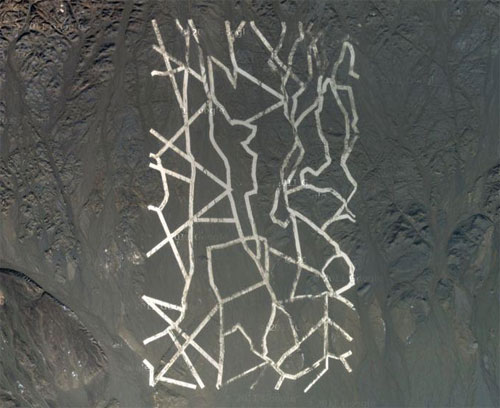
The strange surface features and mysterious structures are visible using Google Maps. The first oddity pointed out by Dias is a series of wide, white lines. These lines are located in “Dunhuang, Jiuquan, Gansu, north of the Shule River, which crosses the Tibetan Plateau to the west into the Kumtag Desert,” according to Dias. This formation reportedly covers an area approximately one mile long by more than 3,000 feet wide. Dias mentions that the “tracks are perfectly executed, and they seem to be designed to be seen from orbit.” He goes on to speculate, “Perhaps it’s some kind of targeting or calibrating grid for Chinese spy satellites? Maybe it’s a QR code for aliens? Nobody really knows.”
Somebody Ordered Tons Of Satellite Photographs Of Chinas Mysterious Structures
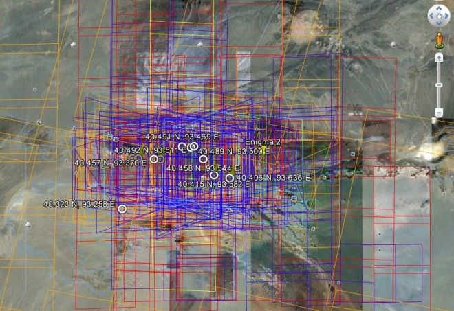
There are lots of explanations for the gigantic structures built in China’s desert. But the most mysterious thing is invisible: according to a former CIA analyst, there’s someone who has ordered tons of satellite photos of this area since 2004.
And the plot thickens. Allen Thomson, an analyst who used to work for the agency in the field of reconnaissance satellites, has noticed that “starting in 2004, somebody has ordered many, many satellite pictures of it.”
You can see the extreme density of these requests if you turn on the DigitalGlobe layer in Google Earth—the satellite has received commands to photograph this area many hundreds of times. Compare that crazy grid of squares to the few images taken of its surroundings.
I doubt these orders come from the US military, since they have their own spy satellites—more accurate than Google’s. Perhaps it’s some low level agency not connected to the military. Or another country. Or Magneto. Whoever it is, Thomson points out to Wired’s Danger Room that it “can’t have been cheap.”